Home / Nakasendō / Honjō-shuku
Honjō-shuku 本庄宿
| Nakasendō (中山道) | Station 10 of 69 · Nihonbashi (Edo) → Kyoto (via Kusatsu) |
|---|---|
| Present-day location | Honjō, Saitama, Japan |
| Prefecture | Saitama (Kanto region) |
| Distance from Nihonbashi | About 85.7 km (by the historical station tables) |
| Next station | Shinmachi-shuku — about 7.9 km on |
| Coordinates | 36.2404° N, 139.1915° E |
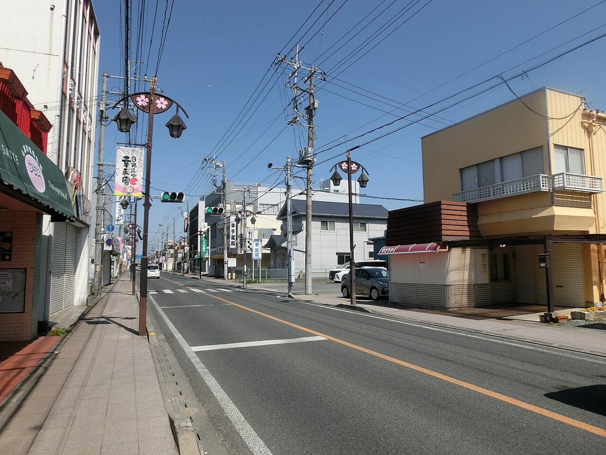
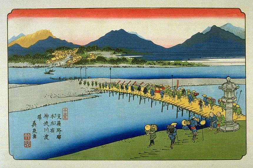
Honjō-shuku (本庄宿) was a post town (shukuba) on the Nakasendō, station 10 of 69 on the road from Edo. It stood in what is now Honjō, Saitama, Japan, about 85.7 km from Nihonbashi, the bridge in Edo (now Tokyo) from which all five roads were measured.
On the road, travellers arrived from Fukaya-shuku to the east and continued, a further 7.9 km on to Shinmachi-shuku.
From the road records: Connects with the Shimonita-dō (Jōshū Hime Kaidō).
Like every post town on the five roads, it maintained an official transport station (toiyaba) with horses and porters for government traffic, lodgings for officials, and inns and teahouses for ordinary travellers. Most of the Edo-period town has since been absorbed into the modern municipality; the station's name and its place in the road's sequence are what this page preserves.
Station facts from the Nakasendō station list (Japanese Wikipedia, CC BY-SA 4.0) and Wikidata (CC0). No separate encyclopedia article covers this station; the summary above was prepared for this guide from those records.